Locating Your Property on the Interactive USDA Zone Map
Locating your property on the interactive USDA zone map starts with a ZIP code, but a map click can help refine the location you need.
Know when to plant.
Hardiness zones, frost dates, month-by-month garden tasks, planting and harvest times by crop, and when to water.
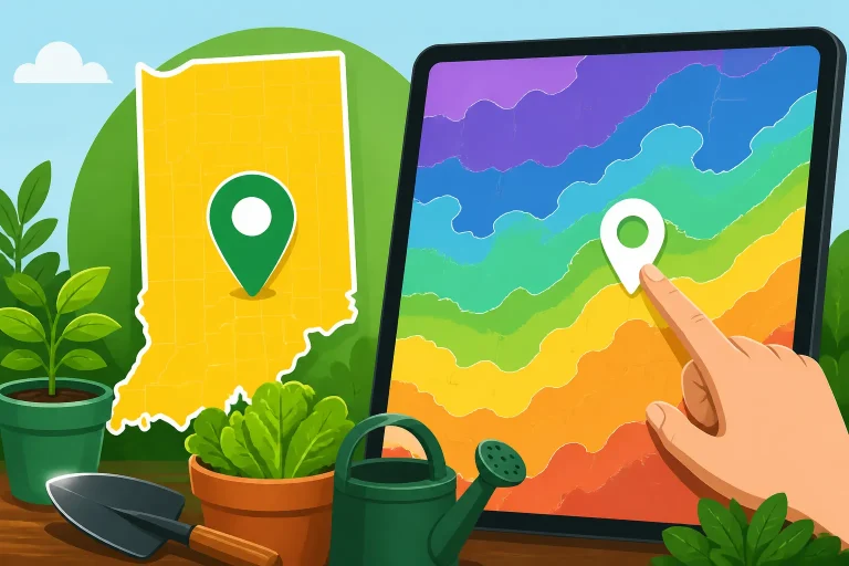
Locating your property on the interactive USDA zone map starts with a ZIP code, but a map click can help refine the location you need.
Monroe County planting dates work best as flexible windows: use the local frost benchmark alongside crop needs, soil readiness, and the forecast.
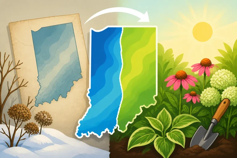
Indiana ZIP code hardiness zones can differ from past maps as data and local detail change; verify your location, then plan by crop and season.
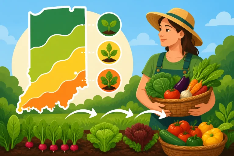
Indiana planting ranges work best as flexible windows: match crops to conditions, stagger sowings for useful harvests, and adjust as the season unfolds.
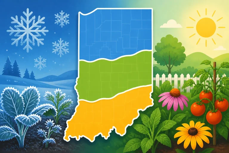
Indiana regional frost dates offer useful planning benchmarks, not guarantees; combine station data with local forecasts, garden conditions, and crop needs.
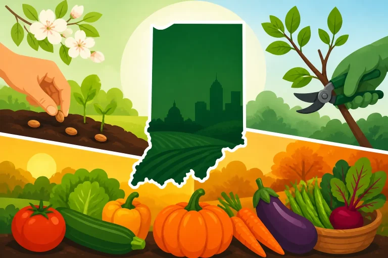
Indiana gardeners can time sowing, pruning, and harvests by local frost risk, soil warmth, crop needs, and seasonal cues—not fixed dates.
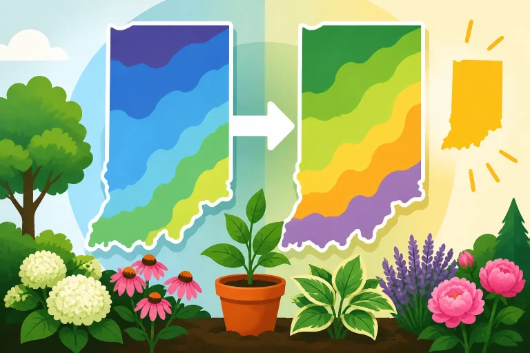
USDA plant hardiness zone map updates explain temperature shifts and help Indiana gardeners plan perennial winter survival.
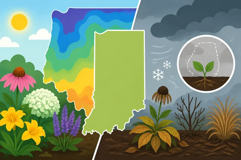
What USDA zones tell you in Indiana—and what they skip: use hardiness for winter survival, then plan vegetables by frost, soil, and weather.
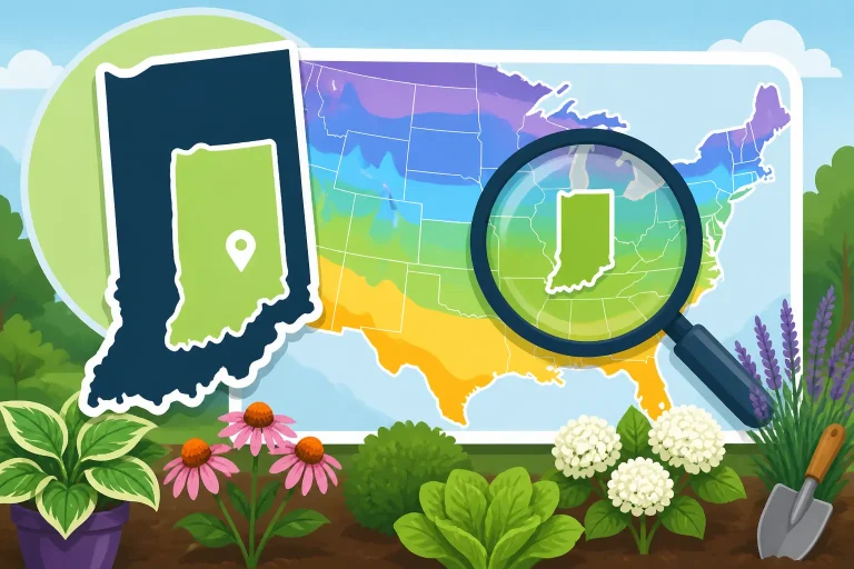
Looking up your Indiana planting zone by ZIP code on the USDA map is useful, but it guides perennial hardiness, not vegetable planting dates.