How to Look Up Your Planting Zone by ZIP Code on the USDA Map
If you are choosing a perennial, tree, or shrub for an Indiana yard, a planting zone can help you judge whether it is likely to survive winter. The USDA map makes it possible to check a location by ZIP code, but its result is easy to misapply. Here is how to find the zone, understand what it describes, and use it without treating it as a vegetable planting calendar.
What a USDA planting zone tells you
The USDA Plant Hardiness Zone Map is a reference for the cold a perennial plant may need to tolerate. Its zones are based on average annual extreme minimum winter temperatures. In practical terms, the map helps you compare the winter hardiness rating listed for a plant with the climate classification assigned to a garden location.
This information is useful when you are selecting plants expected to live outdoors for years. If a plant’s hardiness rating does not suit the winters in your area, it may be vulnerable to cold injury or may not reliably survive. A map result gives you a starting point for making that comparison.
A hardiness zone is not a complete description of your garden. It does not tell you whether a site is sunny or shaded, whether its soil drains well, or how much wind a plant will face. It also does not predict the weather in a particular winter. The map summarizes a long-term temperature pattern; an unusually cold spell can still challenge plants that usually grow successfully in the area.
A zone is also not a planting date. It does not tell you when to sow beans, set out tomatoes, or transplant a warm-season crop. Those decisions depend on seasonal frost risk, soil warmth, crop needs, and short-term weather. For that distinction, see Why Hardiness Zones Do Not Set Indiana Vegetable Planting Dates.
That difference matters in Indiana, where gardeners may use the same map for two very different questions:
- Will this perennial, tree, or shrub usually tolerate winter here? The hardiness zone can help.
- Is it safe to plant a vegetable outdoors now? The hardiness zone alone cannot answer that.
The zone is best treated as one piece of a plant-selection decision. It can narrow your options, but it cannot replace information about the plant’s growing conditions or your site.
Get ready to look up a location
Before opening the map, decide which place you actually want to check. Your home ZIP code can be a useful starting point, but it may cover an area larger than your garden. If you are choosing a plant for a particular yard, the relevant location is the garden site—not a distant part of the ZIP code.
It can help to have a specific purpose in mind. Are you checking a plant label, comparing possible trees, or trying to understand why a plant that grows nearby struggles in your yard? Knowing the question helps you use the map result appropriately rather than treating it as a general verdict on every plant.
Have the plant’s hardiness information available if you are evaluating a purchase. Look for the range or rating given by the grower or seller, and note whether it describes winter survival, a preferred growing climate, or another characteristic. Those labels are not always phrased the same way. If the wording is unclear, check the plant description or ask the seller what the rating means.
Keep the garden’s conditions in mind, too. A plant’s chances of thriving can be affected by factors the map does not show, including:
- How much direct sun the site receives
- Whether the soil stays wet or dries quickly
- Exposure to wind
- Drainage around the roots
- Heat reflected from pavement or walls
- Protection from a building, fence, or group of trees
- The plant’s age, health, and establishment
These details do not change the map’s classification. They do affect how a plant experiences its surroundings. A sheltered spot may reduce exposure to harsh conditions, while an exposed site may be more stressful. Even within the same yard, conditions can differ from one bed to another.
If your garden lies near a mapped boundary, avoid treating the ZIP code as a precise property-level reading. The map search is a convenient way to orient yourself, not proof that every point in a large area has identical conditions. Use the map view at the garden location and consider whether the classification changes nearby.
For an overview of how to check the location itself, see How to Look Up Your Exact Indiana USDA Hardiness Zone. If you are interested in why mapped boundaries and ZIP-code results may not line up neatly, Pinpointing Your Exact Hardiness Zone Near Boundary Lines covers that issue in more detail.
Look up the zone on the USDA map
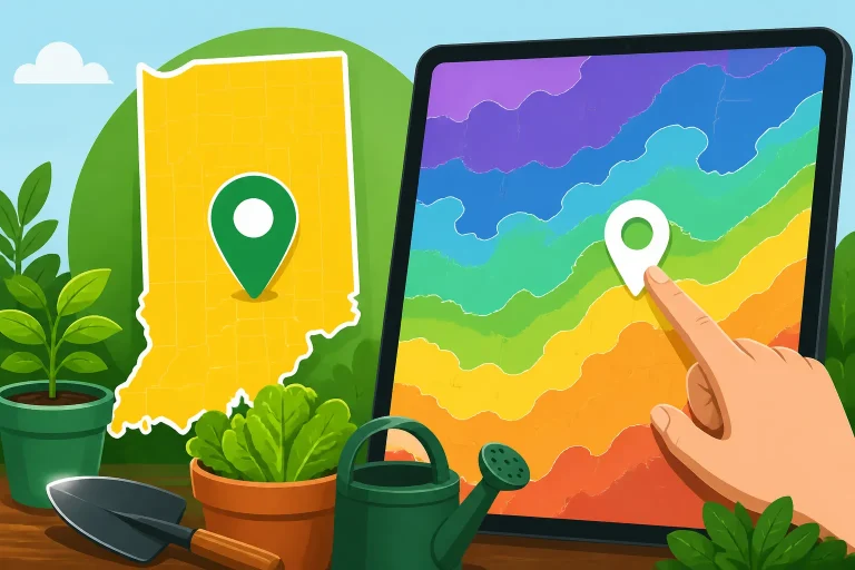
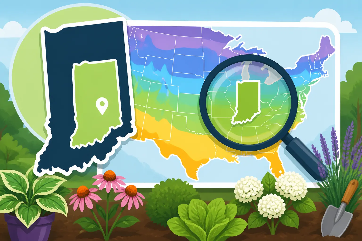
The USDA map has a search box and an interactive map. The USDA Agricultural Research Service instructs gardeners to enter your ZIP code in the search box, then click the map at the location you’re interested in to see its zone classification.
Use the result as a location reference, not as a planting instruction. If you are checking a home garden, focus on the area where the plant will grow. A broad ZIP-code search can point you toward the right part of the map, while the map itself lets you check the location you care about.
After the zone appears, pause before drawing a conclusion. Note the classification and compare it with the plant information you are using. If you are checking several possible sites or plant choices, keep the results together with the plant labels or descriptions. This makes it easier to compare options without relying on memory.
The map’s visual display can make a result seem more exact than it is. Color boundaries are useful for seeing broad patterns, but a color on a screen cannot account for every condition at a particular address. If your location appears close to a boundary, inspect the surrounding map rather than assuming the boundary is a sharp line on the ground.
Also make sure you are looking at the USDA Plant Hardiness Zone Map rather than a different kind of gardening map. Other maps may show rainfall, growing-season conditions, plant distributions, or other information. They answer different questions and should not be substituted for a winter-hardiness classification.
If the ZIP-code result seems unexpected
A surprising result is a reason to check the map view, not to assume that the search has identified an error. ZIP codes are designed to serve postal areas and do not necessarily match climate boundaries. The map’s classification is tied to the location shown on the map, so inspect the garden site rather than relying only on the postal area’s general label.
You can also compare the result with what you already know about the site. Do plants commonly survive winter nearby? Does the garden sit in an exposed area or a sheltered one? Those observations help with plant selection, but they do not replace the map’s classification or guarantee success.
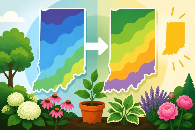
If the result appears to differ from a zone you have seen before, check which map version you are consulting. Map updates can change classifications, and older references may still circulate. Did Your Indiana Hardiness Zone Shift on the Updated Map? explains why a previously quoted zone may not match a current map result.
Read the result without overinterpreting it
A zone label is a shorthand for a range of winter cold, not a promise that a plant will thrive. The practical question is whether the plant’s stated hardiness is compatible with the location’s classification. If it is, winter cold is less likely to be the limiting factor than it would be in a location outside the plant’s stated range. It is still possible for other stresses or an unusually severe winter to cause damage.
If the plant is marginally hardy for the result you found, consider whether you are willing to accept some risk. A plant near its limit may be more vulnerable when it is young, newly planted, exposed to wind, or growing in a stressful site. The result does not settle the decision for you; it helps make the trade-off visible.
A plant’s hardiness rating should not be confused with its preferred growing conditions. A plant may tolerate the winter but still perform poorly in the wrong soil, too much shade, excessive moisture, or a dry, exposed location. Conversely, suitable sun and soil cannot necessarily make a plant reliably winter-hardy where the cold is beyond its tolerance.
| What you are checking | What the USDA zone can help with | What to check separately |
|---|---|---|
| A perennial for an outdoor bed | Whether its winter hardiness is a reasonable match | Sun, soil, moisture, wind, and establishment |
| A tree or shrub for the landscape | Whether its stated cold tolerance may suit the area | Mature size, site conditions, and care needs |
| A vegetable planting date | Very little about when to sow or transplant | Frost risk, soil warmth, crop needs, and local timing |
| A plant near a map boundary | The general hardiness classification near the location | The exact site, nearby map pattern, and local conditions |
| A plant that failed in winter | A way to consider whether winter cold was a factor | Drainage, exposure, plant health, and other stresses |
Do not use the result to infer a fixed date for the last spring frost or first fall freeze. A hardiness zone describes a winter-temperature pattern, while frost timing is a separate kind of seasonal information. For Indiana regional context, see Indiana Regional Frost Dates: North, Central, and South Guides. Those regional patterns can help with garden planning, but a forecast and local conditions still matter when planting.
The zone also does not tell you how long a vegetable crop has to mature, whether it will tolerate a cool night, or how quickly soil warms in a particular bed. A planting calendar has to consider those factors as well. The Indiana Vegetable Planting Schedule: Purdue Extension Timelines is a related resource for thinking about crop timing rather than winter hardiness.
Use the zone in an Indiana garden
Indiana gardeners can use the map as a practical filter when comparing landscape plants. Start by checking a plant’s hardiness information, then compare it with the map result for the garden location. If the plant’s cold tolerance appears well suited, move on to the conditions that may determine how well it grows: sunlight, moisture, soil, exposure, and the space it will need as it matures.
For a native plant, the zone can be useful but should not be the only selection tool. Native plants still vary in their preferences for soil moisture, light, and growing conditions. A plant adapted to one kind of Indiana site may be a poor fit for a different yard, even if the winter-hardiness classification seems suitable. Choosing Indiana Native Plants: Beyond Hardiness Zones offers more on matching plants to the conditions you can provide.
For a non-native tree, shrub, or perennial, a compatible zone rating does not mean the plant is automatically a good choice. Consider whether it is suited to the garden’s soil and light, whether the location has good drainage, and whether the mature plant will fit the available space. A winter-hardy plant can still struggle if its other needs are not met.
The map can also help you understand why two nearby gardens have different results. Their map classifications may be similar, but the growing conditions can differ. One yard might be exposed to winter winds, while another is protected by buildings or trees. One planting bed may drain well, while another stays wet. These differences can affect plant performance without changing the map classification.
If you are deciding whether to try a plant that is close to its hardiness limit, be candid about the trade-off. You may decide that the plant is worth trying in a protected location, or that a better-matched alternative is a safer choice. Neither decision is universally right. The map helps you understand the winter-risk part of the decision; it cannot say how much risk you should accept.
For a closer look at how winter lows can guide landscape choices, see Using Winter Lows to Pick Indiana Landscape Plants. For a wider explanation of what hardiness zones can and cannot tell Indiana gardeners, read What USDA Zones Tell You and What They Skip in Indiana.
Keep the planting calendar separate
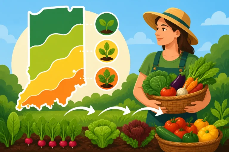
A common mistake is to use the hardiness zone as if it were a complete planting calendar. The zone is about perennial winter hardiness; a planting calendar is about the conditions crops need during a particular part of the growing season. Those are related gardening topics, but they are not interchangeable.
Vegetables respond to seasonal temperatures, soil conditions, and crop-specific needs. Cool-season crops and warm-season crops do not have the same planting requirements. A zone result cannot tell you when a seedbed is ready, whether a transplant can handle the night conditions, or whether a crop will have enough time to mature.
That is why a ZIP-code result should not be turned into a date on the calendar. Instead, use it for the question it answers—winter suitability—and then use crop-specific guidance for sowing and transplanting. Local frost patterns, soil warmth, and current weather can all matter when deciding what to plant outdoors.
A useful planning process looks like this:
- For trees, shrubs, and perennials: Check the plant’s hardiness information against the zone result, then evaluate site conditions.
- For vegetables: Use crop-specific timing guidance and consider frost risk and soil conditions.
- For seed starting: Consider the crop, indoor growing conditions, and when it can safely move outdoors.
- For a fall garden: Work backward from the expected growing conditions and the crop’s needs instead of relying on the hardiness zone alone.
The calendar is also not a rigid promise. Weather can shift, and conditions in a garden bed can differ from what a broad regional reference suggests. The zone gives long-term context for winter survival. Seasonal guidance helps with planting windows. A forecast and a look at the actual garden help you make the final call.
If you want to plan repeated sowings or staggered harvests, use planting ranges and crop timing rather than treating the zone as a schedule. Using Indiana Planting Ranges to Plan Successive Garden Harvests explains how planting windows can support a more continuous harvest.
Frequently Asked Questions
Does a ZIP code give the exact hardiness zone for every garden in that area?
Not necessarily. A ZIP code is a convenient way to locate an area, but the garden site is what matters for plant selection. Check the map at the location you are interested in, especially if the site is near a mapped boundary.
Can the USDA zone tell me when to plant tomatoes or beans?
No. The zone helps with perennial winter hardiness, not vegetable planting dates. Use crop-specific timing guidance and consider frost risk, soil warmth, and current conditions.
If a plant matches my zone, is it guaranteed to survive?
No. A compatible rating is a useful sign, not a guarantee. Site conditions, plant health, establishment, and severe weather can all affect whether a plant survives and grows well.
What should I do if my result differs from an older reference?
Check the map you are using and confirm that you are viewing the current USDA map. An older reference may reflect an earlier classification, and nearby locations may not share the same result.
Sources
- USDA Agricultural Research Service — How to Use the Maps (checked November 15, 2026)
Disclaimer
This article is for general informational purposes only and does not constitute professional advice. Laws, prices and regulations vary by location and change over time. Consult a qualified professional for guidance on your specific situation. Indiana Gardening Guide is not a government agency and is not affiliated with any university extension, state department of agriculture or other government agency.