Locating Your Property on the Interactive USDA Zone Map
A ZIP code can get you close to your Indiana location on the USDA Plant Hardiness Zone Map, but it may not answer which zone applies to the spot you want to plant. The map lets you search by ZIP code and inspect a location directly. Here’s how to use both approaches, check what the result means, and avoid treating a hardiness zone as a planting calendar.
What the interactive map can—and cannot—tell you
The USDA Plant Hardiness Zone Map is a tool for looking up the zone associated with a location. For a property owner, that distinction matters: you may want to check a particular garden bed, not simply get a general result for the place where you receive mail.
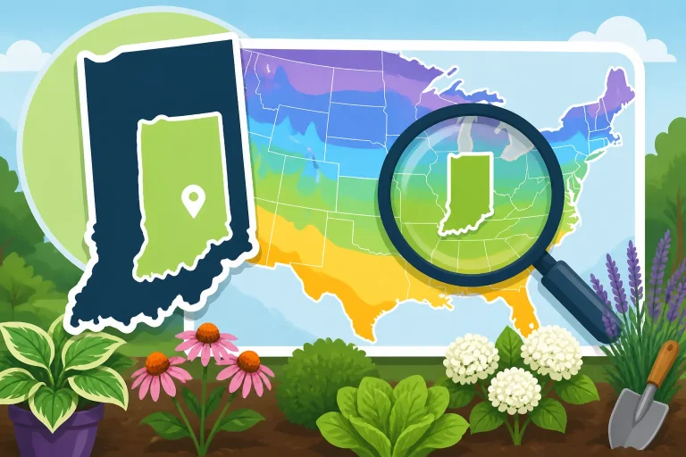
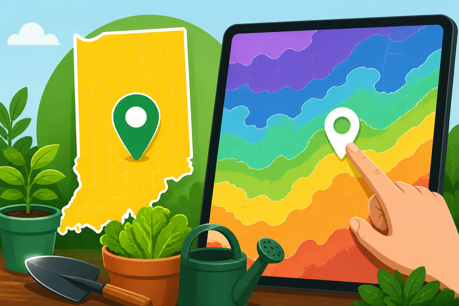
According to the USDA Agricultural Research Service, enter your ZIP code in the search box to find your location; click the map at the location you’re interested in to see its zone classification. The search and the map click serve different purposes. A ZIP code helps orient you to the right area, while clicking the map lets you check a selected spot.
That makes the interactive map useful for locating a garden, a planned landscape bed, or a property you are considering. It is also a useful starting point when a broad location result seems too general for your decision. If you want more background on what a zone classification represents, see What USDA Zones Tell You and What They Skip in Indiana.
A zone result is not a complete assessment of a site. It does not tell you everything about a garden bed, and it should not be treated as a precise instruction for when to plant vegetables. Conditions around a property can influence how plants perform, while the zone map is intended to help with a particular kind of plant-selection question.
The map also does not replace the practical details you need for a garden plan: the local frost outlook, the crop you want to grow, the soil’s readiness, and the conditions in the bed itself. A spot with the same zone classification as another location may still have different growing conditions. Use the map as a reference, then make planting choices with the rest of the garden in mind.
| Map approach | Helpful for | Keep in mind |
|---|---|---|
| Search by ZIP code | Getting oriented to the relevant area | A ZIP code is a starting point, not necessarily the exact garden spot |
| Click the map | Checking the location you are interested in | Choose the map location carefully; the result applies to the spot you select |
| Consult a broader local reference | Comparing the map result with general regional guidance | Broad guidance may not describe conditions at a particular property |
If the map’s result seems unexpected, do not assume the search is broken or that a garden plan has to change immediately. First, check that the map is focused on the intended location and that your click landed where you meant it to. Then consider whether the result is useful for the plant decision you are making. The next sections walk through that process.
Find your property on the map
Start with a location you can identify reliably. If you know the property’s ZIP code, use it to get oriented. If you are checking a garden bed, think about where it sits within the property before selecting a point on the map. A search result can bring you into the general area, but the map click is the step that checks a particular location.
Begin with the ZIP code
Enter the ZIP code associated with the location you want to investigate in the search box. Take a moment to make sure the search is for the intended place, especially if you are checking a property that is not your home address. The goal at this stage is to get close enough to identify the area on the map, not to treat the ZIP code itself as the final answer for every spot on the property.
If the location is unfamiliar, use recognizable nearby features to orient yourself on the map. A town or a familiar part of the area can help you judge whether the map is showing the place you meant. Avoid choosing a point based only on the search box entry if the garden you care about is somewhere else in that area.
For more help with the ZIP-code lookup step, see How to Look Up Your Planting Zone by ZIP Code on the USDA Map. That approach is especially useful when your first question is simply which area of the map to inspect.
Click the spot you want to check
Once you have the right area in view, click the map at the location you are interested in. If your question is about a garden bed, select a point close to that bed rather than a general point elsewhere in the ZIP code area. If you are comparing locations on a property, check each relevant spot rather than assuming that a result for one place automatically describes another.
The map’s classification is tied to the place you click. That makes careful selection important. A click that lands in a nearby area may not answer your original question, even if the map is still showing the same broad community or neighborhood.
If you are using a touch screen, take extra care to avoid tapping the wrong spot. On any device, check the location on the map before relying on the classification. If it does not appear to match the place you intended, select the intended location again and review the result.
Keep track of what you checked
When you are using the map to make a garden decision, write down what location you checked and what you were trying to learn. This is a simple way to avoid mixing up a search result for a general area with a result for a particular garden spot.
For example, you might note that you checked the area where you plan to put a new bed, rather than just recording that you searched the property’s ZIP code. You do not need a complicated record. The point is to remember what the map result actually refers to, especially if you are comparing plant labels or planning different parts of the yard.
Keep the map result tied to the intended decision. A zone lookup can help with questions about a plant’s winter suitability, but it will not settle questions about soil, sun, drainage, or when to sow a vegetable crop. If the map is being used to plan vegetable sowing, pair it with crop-specific and local planting guidance rather than using the zone as a calendar date. Why Hardiness Zones Do Not Set Indiana Vegetable Planting Dates explains that distinction.
Check that the map result matches your question
After clicking the location, pause before using the classification to make a decision. Ask whether the map is showing the spot you meant to inspect and whether a hardiness zone is the information you need. This quick check can prevent a correct map result from being applied to the wrong place or the wrong gardening question.
Confirm the selected location
Look at the map location you selected and compare it with the place you intended to check. If the point is not where you meant it to be, click again at the correct spot. Do not rely on the result simply because the map returned a classification; the classification is only useful for your purpose if the selected place is the relevant one.
This matters if you are using the map to compare a home garden with another property, or if you are trying to check a particular part of a larger property. A general location lookup may be enough for a broad question. For a site-specific question, make sure the selected point represents the site you want to understand.
Check the decision you are making
A hardiness zone is most useful when the question is about whether a perennial or other landscape plant is suited to the winter conditions associated with a location. It is not a replacement for information about a plant’s other needs or a guarantee that it will thrive in a particular bed.
Before making a decision, read the plant’s growing requirements as well as its hardiness information. Consider whether the site’s light, soil, moisture, and exposure fit the plant. A suitable zone classification cannot compensate for a poor match between the plant and the growing conditions in your yard.
For advice about how to use a zone result when choosing landscape plants, see Using Winter Lows to Pick Indiana Landscape Plants. If your main concern is a zone near a mapped boundary, Pinpointing Your Exact Hardiness Zone Near Boundary Lines offers a more focused discussion of that situation.
Compare without treating a difference as a verdict
If you check more than one spot and see different classifications, treat that as a reason to look closely at the locations and the plant in question. It does not automatically mean that every plant choice must change. First make sure you selected the intended points, then consider whether the plant’s hardiness rating is close to the result and whether the site has other relevant stresses.
Likewise, if two locations show the same classification, do not assume their gardens will behave identically. The map result addresses a specific aspect of plant suitability; it does not describe every feature of the growing site. Soil and exposure still matter, and seasonal weather can vary.
If you are checking a location close to a boundary on the map, use the map result as a guide rather than relying on a casual glance at the colors. Select the location you want to check and read its classification. For additional Indiana-specific context, see How to Look Up Your Exact Indiana USDA Hardiness Zone.
Use an Indiana zone result as one planning tool
A zone lookup can support plant selection, but it should sit alongside other information rather than take over the whole plan. The most useful next step depends on what you are growing.
For landscape plants
If you are choosing a perennial, shrub, or tree, compare the plant’s listed hardiness with the map result for the location you checked. Then consider the conditions where the plant will grow. A sunny, exposed site may present different challenges from a sheltered bed, and a wet or poorly drained area may not suit a plant that otherwise appears appropriate for the zone.
Do not use the map classification as a promise of success. Plants can be affected by conditions beyond the zone designation, and establishment care matters. If you are uncertain between options, compare their needs and choose a plant that fits the actual site, not just the map result.
The map can also be useful when you are reviewing plant labels or planning a landscape before purchasing plants. Use it to narrow the question, then confirm the plant’s requirements and suitability for the specific location. For choosing plants that fit Indiana conditions beyond hardiness, Choosing Indiana Native Plants: Beyond Hardiness Zones can help broaden the decision.
For vegetables
Vegetable planting dates depend on more than a hardiness classification. Crops differ in how they respond to cool soil, frost risk, and warm weather. A zone lookup does not tell you when a particular vegetable should be sown outdoors or when a transplant is ready to move into the garden.
Instead, use a planting schedule or crop-specific guidance that takes local conditions and the crop into account. The Indiana planting calendar and county guidance are more appropriate starting points for deciding when to sow or transplant. See When Can You Plant Garden Crops in Your Indiana County? for a crop-planning approach.
The map can still provide useful background about the general location, but do not turn its zone result into a planting date. If a spring forecast shifts or the soil is not ready, the map classification does not remove those concerns. Make the planting decision based on the crop and the conditions at the time.
For a property with varied conditions
A property can contain several kinds of growing sites: a sunny bed, a sheltered corner, a low area, or a planting area beside a building. The map can help check the location relevant to a plant-selection question, but it cannot describe every difference among those sites.
If you are planning separate beds, think about their growing conditions separately. A plant suited to one area may be a poor fit for another, even when both are on the same property. Use the map for the location question it can answer, then assess the site itself before planting.
This is also a reason to avoid using a ZIP-code lookup as a substitute for looking at the garden. The ZIP code helps you find the area, while a map click lets you check a selected spot. Neither step tells you whether the soil is workable, whether water drains well, or how much sunlight reaches the bed.
Troubleshoot a result that seems off
An unexpected result is a cue to review your steps, not a reason to guess. Check the location first, then think through what you expected the map to tell you.
The map is focused on the wrong area
If the map does not appear to show the place you intended to search, recheck the ZIP code entry and confirm that it belongs to the location you want. If the property is outside your own familiar area, take time to orient yourself before clicking. A mistaken location can produce a classification that is valid for a different spot but unhelpful for your question.
The click may have landed elsewhere
If the selected point is not where you meant it to be, click the intended location again and review the classification. This is especially worthwhile when you are checking a particular garden bed rather than asking about the general area. A result should be connected to a clear location, not just to a remembered search.
The result does not match a plant label
Plant labels and map classifications can be difficult to compare if you are not sure what the label is describing. Recheck the location you selected, then read the plant’s requirements carefully. If the plant is near the edge of its stated hardiness range, consider whether a more cold-tolerant choice would be a better fit, and account for the conditions at the planting site.
Do not assume a mismatch means the map or label is wrong. They may be answering related but different questions, or the map click may not represent the intended garden. If the decision depends on a boundary area, review Pinpointing Your Exact Hardiness Zone Near Boundary Lines and use the map’s location-specific result rather than relying only on a broad area impression.
You were looking for planting dates
If you opened the map to decide when to plant a vegetable, switch to a crop-focused schedule. Hardiness classifications help frame plant selection; they do not provide the planting window for each vegetable. The relevant local schedule should account for the crop and the timing conditions that matter to it.
The central habit is simple: identify the right location, click the spot you need, and match the result to the decision it can actually support. That keeps the map useful without asking it to answer questions it was not designed to settle.
Frequently Asked Questions
Is a ZIP code enough to locate my garden?
A ZIP code is a useful starting point for finding the area. To check a particular garden location, click the map at the spot you are interested in and review its classification.
Should I use the map to decide when to plant vegetables?
No. A hardiness zone is not a vegetable planting date. Use crop-specific planting guidance and consider local seasonal conditions.
What should I do if the zone result seems wrong?
Check that the map is showing the intended area and that you clicked the right location. Then make sure a hardiness zone is the information needed for the plant decision.
Does a zone result guarantee that a plant will grow well?
No. The result can help with plant selection, but it does not account for every feature of a garden site. Check the plant’s other requirements and the conditions where it will grow.
Sources
- USDA Agricultural Research Service — How to Use the Maps (checked November 15, 2026)
Disclaimer
This article is for general informational purposes only and does not constitute professional advice. Laws, prices and regulations vary by location and change over time. Consult a qualified professional for guidance on your specific situation. Indiana Gardening Guide is not a government agency and is not affiliated with any university extension, state department of agriculture or other government agency.