Why Your Indiana ZIP Code Hardiness Zone Differs from Past Maps
An Indiana ZIP code can appear in a different hardiness zone than it did on an older map, leaving gardeners unsure which plants to trust. The change may reflect updated weather data, finer local mapping, or the way a ZIP code is matched to a map—not a sudden change in your yard. Here’s how to check your location and use the zone without mistaking it for a planting calendar.
What a hardiness zone measures
A hardiness zone is a guide to the cold a perennial plant may encounter in winter. Purdue University explains that the hardiness map uses weather data to show average annual extreme minimum temperatures (winter lows). That makes it useful when you’re evaluating whether a tree, shrub, or perennial is likely to tolerate the winter cold in a broad area.
A zone is not a forecast for the coming winter, a guarantee that a plant will survive, or a complete summary of the conditions in your garden. It describes a pattern in historical winter-low data. Even within a mapped zone, a yard’s exposure, soil, drainage, and shelter can make conditions more or less stressful for a particular plant.
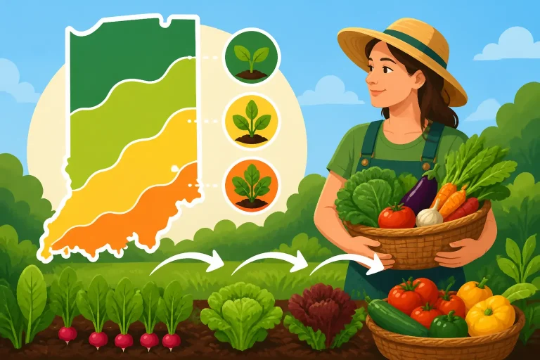
The map also does not tell you when to sow peas, set out tomatoes, or expect a spring frost. Vegetable planting depends on more than winter cold. Soil warmth, current weather, crop preferences, and the risk of frost all matter. For those decisions, use a planting calendar alongside the zone map. What USDA Zones Tell You and What They Skip in Indiana explains the distinction, and Why Hardiness Zones Do Not Set Indiana Vegetable Planting Dates focuses on why zone information alone is not enough for timing crops.
It helps to think of a hardiness zone as a screening tool. It can flag a plant that may be a poor match for a location’s winter lows, but it cannot promise how a plant will perform. A plant rated for a colder climate may still struggle in a poorly drained spot, while a plant near its cold limit may do well in a sheltered site during favorable winters.
That limited purpose is important when comparing maps. If your ZIP code appears in a different zone than before, it does not automatically mean your garden’s planting dates have shifted by the same amount. The map is one piece of a decision, not a substitute for local frost information or observation of your own site.
Why your zone may differ from past maps
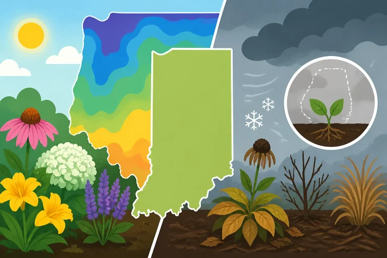
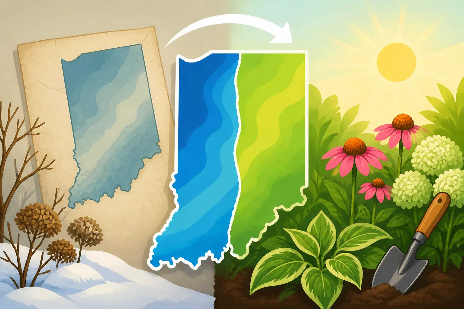
A map can change when the underlying weather record is updated. Purdue University says the latest map release is based on weather data from 1991-2020. Older maps used an earlier set of observations, so comparing them with the latest map means comparing results drawn from different data periods.
That update matters because a map is a summary of weather records, not a permanent label attached to a location. Newer data can change the estimate of typical winter lows for a particular area. If that estimate falls on the other side of a zone boundary, the color or zone shown on the map may change even though there is no line on the ground marking a sudden climate divide.
Mapping detail can also affect what you see. A regional map may show broad areas, while an interactive map may give a more specific result when you search a location. Local differences in terrain, elevation, exposure, and proximity to water can influence winter conditions. A map has to represent those patterns at a useful scale, but it cannot capture every yard-level variation.
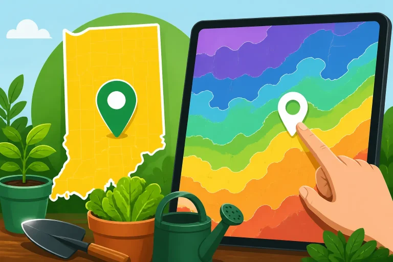
It is also possible for a ZIP-code lookup to make a change seem more dramatic than it is. ZIP codes are designed for mail delivery, not to define uniform climate areas. One ZIP code can cover places with different exposures or local conditions, and a search result may represent a general location rather than the exact spot where you garden. A point near a mapped boundary may appear on one side in one view and another side in a different view or map release.
Keep these possible reasons separate when you investigate a change:
| What may have changed | What it means for your lookup |
|---|---|
| Weather data used for the map | A newer period of observations can produce a different estimate of winter lows. |
| Map detail or display | A broad map and a more localized view may not show boundaries with the same apparent precision. |
| ZIP-code search location | The result may stand for a postal area or search point, not the exact garden site. |
| Conditions within your yard | Shelter, exposure, soil, and drainage can affect plant survival even when the mapped zone is unchanged. |
| Your planting decision | A zone change may inform plant selection, but it does not set vegetable sowing or transplant dates. |
A shift on a map should therefore prompt a closer look, not an automatic overhaul of the garden. If the map now places your area in a more favorable zone for a plant, that does not remove risks from an exposed site or a severe cold snap. If the result appears colder than an older map, it does not mean every established plant will fail. The zone helps describe a regional pattern; individual plants respond to conditions over time.
For a focused comparison, see Did Your Indiana Hardiness Zone Shift on the Updated Map?. It can help you think through what a changed map category means and what it does not prove about an individual property.
Why a ZIP-code search can be confusing
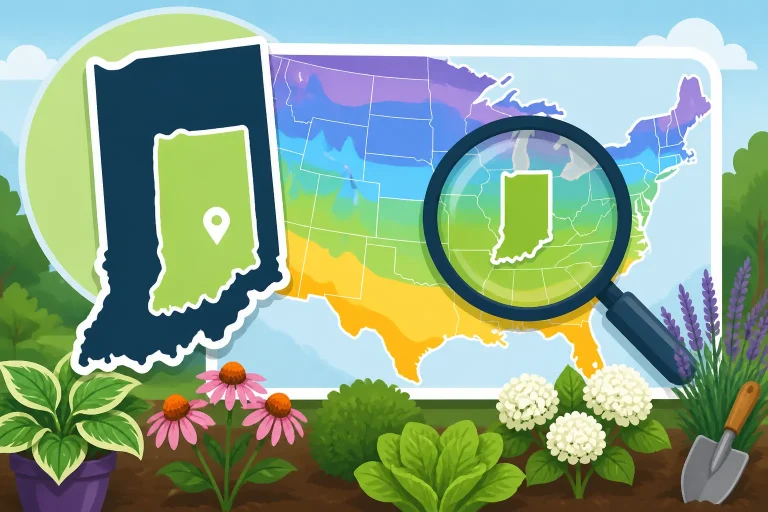
A ZIP code is convenient for finding a general area, but it is not always a precise way to identify the climate conditions at a garden bed. The map may return a zone associated with a search location that is not the same as your yard. This can be especially confusing if you live near a zone boundary or in a ZIP code that covers a broad area.
A search result also looks more exact than the information behind it may be. Seeing a zone assigned to a ZIP code can suggest that every garden in that postal area has the same winter conditions. In reality, neighboring sites can differ. A garden on an open, windy slope may experience more exposure than one protected by buildings or trees. Low-lying areas can also behave differently from nearby higher ground.
Before treating a ZIP-code result as your final answer, check the map itself and see where the search marker falls. If the tool lets you locate a point more precisely, use the location closest to the garden rather than relying only on the postal code. Compare the result with the map’s surrounding colors and boundary lines. A result close to a boundary deserves more caution than one well inside a mapped area.
A practical check looks like this:
- Search with your ZIP code to get oriented.
- Inspect the map around the result instead of treating the search label as a property-level measurement.
- If possible, locate the actual garden area on the map and compare nearby zones.
- If the site lies near a boundary, consider the neighboring zone as a possible source of uncertainty when choosing marginally hardy plants.
- Use local frost information and crop-specific planting guidance for seasonal decisions.
For more on the mechanics of a search, use How to Look Up Your Planting Zone by ZIP Code on the USDA Map or Using the USDA Map Search Box to Check Your Indiana ZIP Code. If a search result still seems ambiguous, How to Look Up Your Exact Indiana USDA Hardiness Zone and Pinpointing Your Exact Hardiness Zone Near Boundary Lines offer a more location-focused approach.
The goal is not to force every yard into a perfectly precise category. A map can help narrow the options, but a boundary should not be treated as a fence that separates guaranteed success from guaranteed failure. When a plant is only marginally suited to the mapped conditions, consider the site’s exposure and your willingness to protect or replace it.
What a changed zone means for your garden
A changed zone is most useful when you’re choosing perennial plants, woody ornamentals, or other plants expected to remain outdoors through winter. If a plant is near the cold tolerance limit indicated for your area, a revised map result may be a reason to review the choice. It is not a promise that the plant will thrive, nor a reason to remove an established plant solely because a map color changed.
For a new planting, use the map as an initial filter. Check the plant’s stated winter hardiness, then consider the specific site. A sheltered garden with suitable soil may be a better place for a borderline plant than an exposed location with poor drainage. Conversely, a plant that is generally rated for the area may still be vulnerable in an especially cold or wet location. Using Winter Lows to Pick Indiana Landscape Plants provides a related way to apply winter-low information to landscape choices.
For an established plant, look at its actual performance as well as the map. Has it survived past winters? Is it growing in a protected location? Does it show recurring winter injury? Those observations do not replace hardiness information, but they give you useful context. A map category describes a larger area; your plant’s condition reflects the particular site and the seasons it has experienced.
For vegetables, a changed hardiness zone usually does not answer the question gardeners most urgently ask: when can I plant? The map is about winter lows, while spring planting decisions often turn on frost risk, soil temperature, and the crop’s tolerance of cool conditions. A warm spring spell does not make a tender crop safe to plant if cold conditions may return. Likewise, a hardiness zone cannot tell you the right week to sow fall crops.
Use a separate seasonal source for those decisions. Indiana Regional Frost Dates: North, Central, and South Guides can help you consider regional differences in frost timing. For crop-specific windows, The Indiana Vegetable Planting Schedule: Purdue Extension Timelines is a more relevant starting point than a hardiness-zone lookup. The Indiana Garden Calendar: What to Sow, Prune, and Harvest can help connect planting choices with other seasonal tasks.
A useful distinction is:
- Choosing a perennial: Use the zone as a winter-cold screening guide, then account for site conditions and the plant’s stated tolerances.
- Planning a spring vegetable bed: Use crop-specific planting guidance, soil conditions, and frost risk rather than relying on the zone.
- Deciding whether a plant is safe after a cold forecast: Check the forecast and plant-specific protection needs; a zone describes historical patterns, not tonight’s conditions.
- Comparing an old and new map: Check which map you are viewing and how the search location is represented before changing your plan.
If a new map result appears warmer, it may encourage you to consider plants that were previously outside your comfort range. Make that choice selectively. A warmer mapped zone does not eliminate occasional severe cold or the effects of a harsh site. If a plant is valuable or difficult to replace, choosing a more cold-tolerant option or providing a suitable protected location can reduce the risk.
If the result appears colder, don’t assume the map requires immediate changes. Review plants that have struggled and consider the site, but weigh that against what is actually growing successfully. The map can help you understand risk; it does not diagnose why a particular plant is declining. Poor drainage, drought stress, pests, disease, or other growing conditions may be involved.
A reliable way to use the map and plan ahead
Start by confirming that you are comparing the right maps. An older map and the latest map may reflect different weather records, so check the release or data information associated with each view. Don’t compare a ZIP-code label from one tool with a point you selected manually on another and assume that the difference comes entirely from a change in winter conditions.
Next, locate the garden as accurately as the map allows. A ZIP code is a helpful starting point, but the garden’s actual position and its relation to nearby boundaries matter. If your location is close to a boundary, treat the result as less certain for a plant that is sensitive to winter cold. You do not need to settle every ambiguity before gardening; simply account for it in choices where winter survival matters.
Then match the information to the question you’re trying to answer. If you’re choosing a tree or perennial, the hardiness map may be relevant. If you’re deciding when to plant vegetables, move to a planting calendar, frost guidance, and crop-specific advice. If you’re assessing a sudden cold forecast, use current weather information rather than a historical map.
It can also help to keep a simple record of your own garden’s results. Note which plants experience winter damage, where they are growing, and whether they are sheltered or exposed. Record vegetable planting and harvest outcomes separately from hardiness observations. Over time, this gives you local context without confusing a successful spring sowing with proof that a perennial is winter hardy.
For a practical routine:
- Verify the map: Check the map release and confirm that you are looking at the latest version available to you.
- Refine the location: Use the garden’s position rather than relying only on the ZIP-code search label.
- Notice boundary uncertainty: If the garden sits near a boundary, be cautious with plants whose winter tolerance is close to the mapped conditions.
- Use the right planning tool: Apply hardiness information to perennial selection and seasonal planting guidance to vegetable timing.
- Compare with your site: Consider shelter, exposure, soil, drainage, and your own observations before making a lasting planting decision.
The most useful takeaway is that a zone change is a prompt to review, not a command to replant. Updated data can change how a location is classified, while a ZIP-code search can simplify a varied local area into a single result. Confirm the map location, match the information to the gardening decision, and use frost and crop guidance for timing. That approach makes the hardiness zone helpful without asking it to answer questions it was not designed to solve.
Frequently Asked Questions
Does a different ZIP-code zone mean the local climate changed suddenly?
No. A map result can differ because the weather data or map representation changed, or because the ZIP-code search does not pinpoint your garden. A zone is a summary of historical winter-low conditions, not a real-time reading of your yard.
Should I replace plants if my area moved to a colder zone?
Not automatically. Check how the plants are performing and consider their site conditions before making changes. A new map result can be useful context, but it does not show why an individual plant is thriving or struggling.
Can a hardiness zone tell me when to plant vegetables?
No. Hardiness zones describe winter-low patterns, not specific vegetable planting dates. Use crop-specific planting guidance and local frost information to plan sowing and transplanting.
What should I do if my garden is near a zone boundary?
Use the map to understand the uncertainty, then be conservative with plants that are marginally hardy. Consider the garden’s exposure and shelter, and consult location-specific guidance when the choice matters.
Sources
- Purdue University — USDA Releases Updated Plant Hardiness Zone Map (checked November 15, 2026)
Disclaimer
This article is for general informational purposes only and does not constitute professional advice. Laws, prices and regulations vary by location and change over time. Consult a qualified professional for guidance on your specific situation. Indiana Gardening Guide is not a government agency and is not affiliated with any university extension, state department of agriculture or other government agency.