Did Your Indiana Hardiness Zone Shift on the Updated Map?
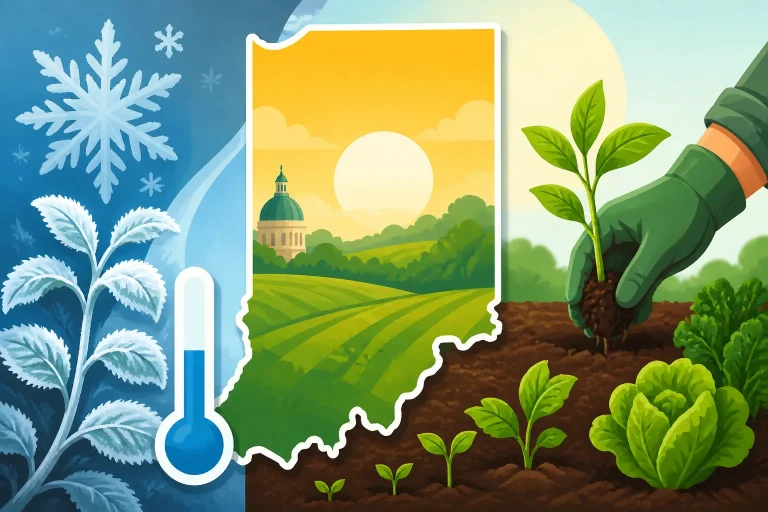
A hardiness-zone change can make it look as if your Indiana garden suddenly became warmer or colder, but a map update does not change your yard’s conditions overnight. It can reflect newer climate data, improved mapping, or both. Here’s how to check your zone, understand what changed, and use the map without mistiming vegetables or replacing healthy plants.
What a hardiness zone measures
The USDA Plant Hardiness Zone Map groups places by their average annual extreme minimum winter temperature. It is a tool for estimating whether a perennial plant is likely to survive typical winter lows in a location. It does not show the coldest temperature ever recorded there, nor does it predict the temperature for a particular winter.
Each full zone spans a 10-degree Fahrenheit range, and each zone is divided into two 5-degree half-zones. A change of one half-zone therefore represents a small shift in the temperature range assigned to an area. That can matter when you are considering a plant near its cold limit, but it is not the same as a forecast that every future winter will be milder.
A zone is also not a label for an individual property. A ZIP code or area may fall in a zone on the USDA map, but the map cannot account for every feature of a particular yard. A low, exposed patch may be colder than a nearby protected slope. A courtyard beside a sunny wall may stay warmer than an open garden just down the street.
For a closer look at how the map works, see What USDA Zones Tell You and What They Skip in Indiana. The key takeaway is that a zone is one useful piece of information about perennial winter survival—not a complete description of your garden’s climate.
What “average annual extreme minimum” means
The phrase refers to the lowest temperature reached in each year over a weather-record period, averaged across that period. It is not the average winter temperature, the average overnight low, or the lowest temperature that can happen.
That distinction explains why a zone is useful but limited. A plant may tolerate a certain range of typical winter lows and still be damaged by an unusually severe cold snap. Conversely, a plant rated for a slightly warmer zone may survive in a sheltered Indiana yard, especially where soil, drainage, snow cover, and wind exposure are favorable.
The map is a probability-based planning aid. It does not promise that a particular plant will survive, and it does not mean that every spot inside a zone experiences identical conditions.
What an updated map can change
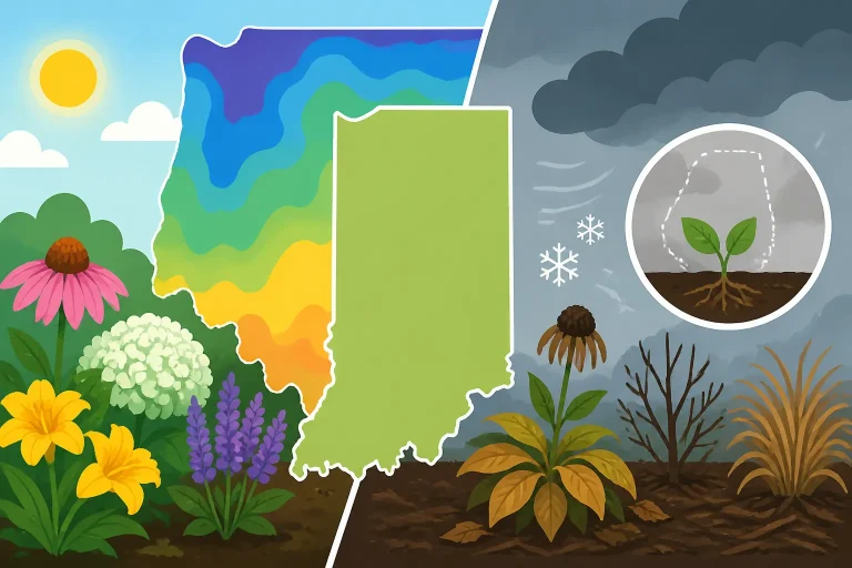
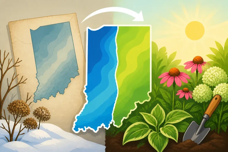
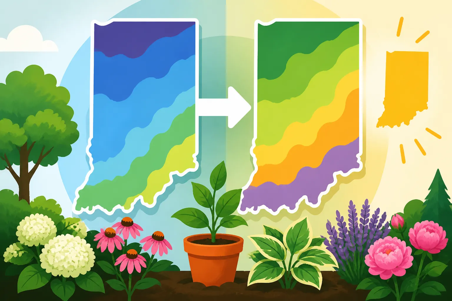
When the USDA map is updated, the assigned zone for some places can shift. A location may move into a warmer or colder half-zone, while other nearby areas may retain their previous classification. The change may reflect newer temperature records, revisions to how the data are analyzed, or improvements in how local variation is represented.
A changed designation does not necessarily mean that the climate at your address changed by exactly the full temperature difference between the old and new zone. The map assigns categories to a continuous range of conditions. If a place sits close to a zone boundary, modest changes in the underlying data or mapping can alter the category shown.
For context on comparing versions, see Why Your Indiana ZIP Code Hardiness Zone Differs from Past Maps. A difference between maps is a reason to update your planning information, not a reason to assume that every plant in the yard now faces a different winter.
Why Indiana gardeners may see a different zone
Indiana contains a mix of urban and rural landscapes, open and sheltered sites, and areas influenced by local terrain and nearby water. Those differences can create small temperature variations across short distances. A statewide map must turn complex local conditions into zones, so a boundary may pass through or near places that gardeners think of as one community.
An updated map can make those boundaries look different. A town, ZIP code, or property that was previously near one boundary might now appear on the other side. Other places may not change at all. The map’s detail is useful for broad comparisons, but it should not be mistaken for a precise reading of conditions at a garden bed.
A shift is not always a simple climate signal
A map change can result from several factors working together. Newer observations may alter the calculated average. A more detailed map may represent local patterns differently. Changes in station records or the way a map accounts for geographic variation may also affect how a boundary is drawn.
So it is sensible to say that the updated map assigns a different zone to a location. It is less sensible to conclude from that change alone that a specific yard has become warmer by a fixed amount, or that future winters will follow a particular trend. The map is a summary of historical temperature data processed for a practical purpose.
That distinction matters when making long-term garden choices. If a plant’s hardiness rating is close to your zone, treat the rating as a useful risk indicator, not a guarantee. Consider the plant’s exposure, the condition of the soil, and whether you can protect it during severe weather.
Map boundaries do not follow property lines
The zone shown for an area is not a measurement taken at every home. Even within one ZIP code, gardens may differ because of elevation, wind, shade, buildings, pavement, and drainage. In winter, a sheltered urban yard may experience different conditions from an open site nearby.
For a more precise map lookup, use How to Look Up Your Planting Zone by ZIP Code on the USDA Map or Locating Your Property on the Interactive USDA Zone Map. A map search can help you identify the zone assigned to an area, but it cannot replace observations of your own yard.
It can be useful to note recurring patterns: where frost lingers, where wind dries plants, which beds stay wet, and which corners warm first in spring. Those observations will not produce a new official zone, but they can help you make better choices within the zone shown on the map.
What a zone change means for Indiana gardens
For most gardeners, a zone shift is a prompt to review plant choices—not a signal to overhaul the garden. If established trees, shrubs, and perennials are growing well, there is usually no practical reason to remove them just because a map now assigns the property a different half-zone.
The updated designation is most useful when choosing plants that live outdoors year after year. It can help you compare a plant’s stated cold tolerance with the typical winter lows mapped for your area. It may also help you notice that a plant previously considered marginal could be a more reasonable trial, or that a plant near its limit deserves extra care.
A plant’s hardiness rating is only one part of the decision. Some plants are more sensitive to winter wetness, drying winds, abrupt temperature swings, or late-season growth than to the lowest temperature alone. A plant rated as hardy may still fail in poorly drained soil or an exposed location.
| Gardening decision | How the updated zone can help | What else to consider |
|---|---|---|
| Choosing a perennial or shrub | Compare its winter rating with the zone shown for your area | Wind, drainage, exposure, and establishment |
| Deciding whether to keep an established plant | Reassess its likely winter margin | Its actual health and past performance |
| Planning a vegetable garden | Provides little direct guidance for sowing dates | Frost probabilities, soil warmth, and crop needs |
| Trying a marginal plant | Helps identify whether the trial is less or more risky | Protection, microclimate, and willingness to replace it |
| Comparing neighborhoods or properties | Offers a broad regional reference | Local conditions may differ within the same zone |
Perennials, shrubs, and trees
For woody plants and perennials, hardiness ratings can help narrow a list of candidates. When an updated map places a garden in a warmer half-zone, gardeners may find that some plants once considered borderline now appear closer to their stated tolerance. That is a reason to investigate, not an assurance of success.
Likewise, a shift to a colder half-zone does not automatically mean that established plants will be damaged. They may already be thriving because they are well suited to the site, protected by a building or tree canopy, or adapted to local conditions. The plant’s condition is important evidence. A map category does not erase years of real performance.
If a favorite plant is marginal, reduce avoidable stress. Choose a suitable planting site, avoid spots that stay waterlogged, and give new plants time to establish before facing severe weather. For plants near their limit, Should You Choose Plants Rated One Zone Colder for Indiana Yards? discusses the conservative approach of selecting plants with a hardiness margin.
Annual vegetables and flowers
The USDA hardiness zone is not a planting calendar for annual crops. Tomatoes, beans, cucumbers, and many annual flowers are planted and harvested within a growing season. Their timing depends on frost risk, soil temperature, crop tolerance, and the length of the growing season—not simply on the zone assigned for winter lows.
A warmer zone does not mean you should automatically put tender seedlings outside earlier. Spring warm spells can be followed by cold nights, and cold soil can slow growth even when the daytime air feels mild. Likewise, a map shift does not tell you when fall frost will arrive.
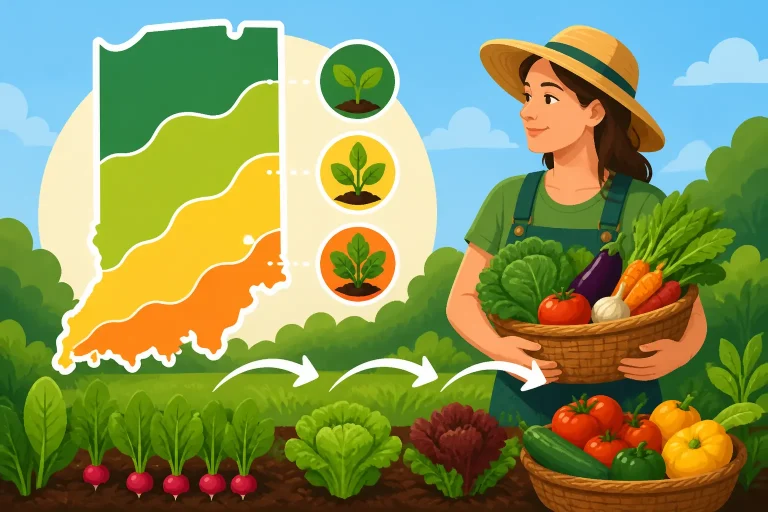
Use the zone map for questions about perennial winter survival, then consult a local planting schedule for vegetables and annuals. Why Hardiness Zones Do Not Set Indiana Vegetable Planting Dates explains this distinction, while The Indiana Vegetable Planting Schedule: Purdue Extension Timelines can help you plan crop timing using planting guidance rather than winter-hardiness zones.
What a hardiness zone does not tell you
A zone map is easy to overuse because it offers a simple label for a complicated place. That label does not tell you when spring frost will end, when fall frost will begin, how quickly soil warms, or how much heat a vegetable crop will receive. Those conditions may be more important than the zone when you are deciding when to sow or transplant.
It does not give last or first frost dates
Hardiness zones are based on winter minimums. Spring and fall frost dates are separate estimates and vary from year to year. A date in a frost table is a probability, not a promise that frost will occur on that date or that the risk ends immediately afterward.
For Indiana planting decisions, use frost guidance that is relevant to your region and the crop you plan to grow. Indiana Regional Frost Dates: North, Central, and South Guides covers the regional differences. If a forecast calls for a cold night, the forecast and the plant’s tolerance matter more than whether the updated map shows a slightly warmer zone.
It does not measure summer heat
Two locations with the same winter hardiness zone may have different summer conditions. A zone does not describe the number of hot days, the intensity of afternoon sun, humidity, or whether a garden gets heat reflected from pavement. Those factors can affect flowering, fruit set, and the performance of cool-season crops.
For a perennial, heat stress and winter survival are distinct concerns. A plant may tolerate winter lows but struggle through a hot, dry summer. Another may handle summer heat but need protection from winter wind. Use the plant’s full site requirements rather than treating its zone rating as a complete suitability score.
It does not account for every yard-level condition
The slope of the land, exposure to wind, nearby buildings, and the movement of cold air can all affect a garden. Cold air tends to settle in low areas, so a bed at the bottom of a slope may experience frost differently from a raised or sheltered spot nearby. Walls and pavement can also alter local temperatures, sometimes beneficially and sometimes by making a site too hot or dry.
Soil conditions matter too. A plant in well-drained soil may overwinter more reliably than the same plant in saturated ground. A newly planted perennial may be more vulnerable than an established one. Mulch, snow cover, and nearby vegetation can also influence how a plant experiences winter, though none can guarantee survival.
These differences explain why a neighbor’s success is useful information but not a perfect prediction for your own yard. Compare the growing conditions, not just the street address or map zone.
It does not tell you whether a plant is suitable for your whole site
A hardiness rating focuses on cold tolerance, but a plant also needs appropriate sunlight, moisture, soil, and space. Before buying a plant, check its full site requirements. A plant that is technically hardy may still perform poorly if it is placed in deep shade, dry soil, or a location that stays wet.
For Indiana gardens, the zone map works best alongside observation and practical site assessment. Choosing Indiana Native Plants: Beyond Hardiness Zones is useful when selecting plants for local conditions that a zone number alone cannot capture.
How to check whether your Indiana zone changed
A careful comparison starts with the same location on each map. Comparing one ZIP code on an older map with a different point on an updated map can create a misleading impression, especially where boundaries are close together.
- Locate the same point on the updated map. Use the interactive map or search tool to find your area. Remember that a ZIP code result is an area-level reference, not an exact reading for every property.
- Check the older map at the same location. If you have a saved map or previous lookup, compare the same location rather than comparing broad regional labels.
- Note the size of the change. Record whether the displayed half-zone changed and whether the location sits near a boundary. A boundary can pass through a community or ZIP code.
- Treat the result as a planning update. Use the new designation when checking plant hardiness, but do not assume that annual crop dates or frost risks changed in the same way.
- Compare the map with your garden. Consider exposure, drainage, wind, slopes, and the history of plants already growing in the yard.
If you do not have the older map or cannot make a reliable side-by-side comparison, avoid guessing from memory. The useful question is often not “Did my zone change?” but “What does the current map suggest, and what other conditions should guide this planting choice?”
When you look up the result, keep the location consistent. A map search can center on a town or ZIP code, while a closer zoom may show a different zone near a boundary. A small apparent change may simply reflect looking at a different point. How to Look Up Your Exact Indiana USDA Hardiness Zone offers more on interpreting a location-specific result.
Keep a garden record alongside the map
A simple record can make the map more useful. Note the plants that survive winter, those that show damage, and where they are planted. Include whether a bed is sheltered or exposed and whether the soil drains well. Over several seasons, those observations can help distinguish a plant that is genuinely suited to your site from one that survives only in an unusually mild winter.
Do not treat one winter as a definitive test. A plant may survive several ordinary winters and then be injured during an exceptional cold event. Equally, a cold winter may affect plants that usually do well. A record helps you make decisions based on patterns rather than a single outcome.
How to adjust your planting decisions
A map update is most useful when it prompts a measured review. There is no need to replace everything in a garden or rush into planting tender crops. Instead, use the updated zone for the decisions it supports and use other local information for the rest.
For existing plants: observe before changing course
Keep healthy established plants unless there is a separate reason to remove or relocate them. A zone shift does not mean a plant has become unsuitable. Look for signs of recurring winter injury, poor growth, or a mismatch with the site before deciding that the map change requires action.
If a plant is already near its cold limit, consider whether its location offers protection. A wind-exposed corner and a sheltered bed may present different risks, even if both fall within the same mapped zone. For replacement choices, compare the plant’s hardiness rating and site needs, and decide how much risk you are comfortable taking.
For new perennial purchases: use a margin where reliability matters
If you want a low-risk planting, choose plants with a hardiness rating that gives some room below the zone shown for your area. That margin can be especially useful in exposed sites, poorly drained beds, or places where winter protection is difficult.
A plant with a rating close to your zone may still be worth trying if you are comfortable with uncertainty and can provide a favorable site. Keep the trial modest rather than planting an entire border with one marginal choice. Consider a sheltered location and make sure the plant’s moisture and sunlight needs are met.
This is a practical trade-off: selecting more cold-hardy plants may reduce the range of choices, while trying marginal plants offers more variety but accepts a greater chance of loss. A changed zone can inform that choice, but it cannot remove the uncertainty.
For vegetables: return to planting windows and crop groups
Do not use a hardiness-zone shift to set spring or fall sowing dates. Check the planting window for each crop and account for soil conditions and frost risk. Cool-season crops and warm-season crops respond differently to cold, and a calendar date that works for one group may be a poor choice for another.
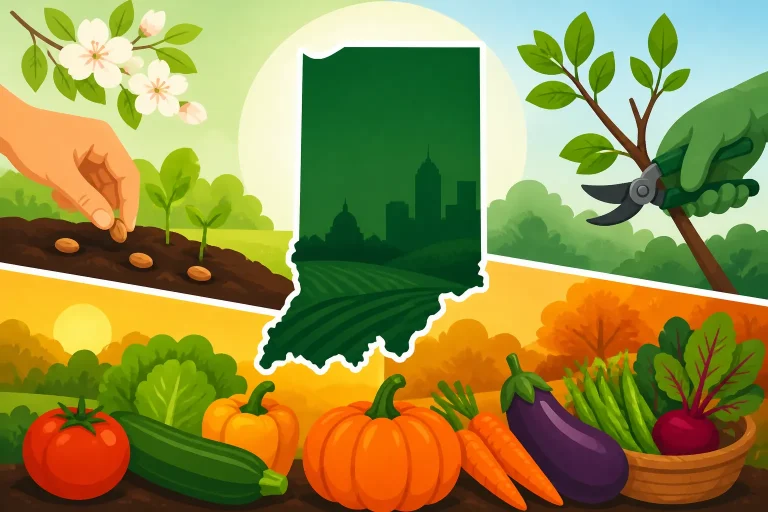
The Indiana Garden Calendar: What to Sow, Prune, and Harvest can help connect seasonal tasks with the broader Indiana gardening year. For more flexible planning, Using Indiana Planting Ranges to Plan Successive Garden Harvests can help you think in windows rather than relying on a single date.
If a warm spell arrives early, check the soil and the forecast before setting out tender plants. If a cold spell is expected, protect vulnerable crops as appropriate for the situation. The zone map does not override short-term weather.
For marginal plants: run a small, informed trial
When the updated map makes a plant seem more plausible, start with a small trial. Pick a site that meets the plant’s sun and soil needs, and avoid placing the whole garden at risk. Track its condition through winter and spring, including whether damage appears on exposed stems or in the entire plant.
A small trial also helps reveal whether the limiting factor is actually cold. If a plant struggles in summer or remains unhealthy in wet soil, changing its winter zone rating will not solve the underlying problem. Site fit comes first; zone tolerance is one screening tool.
For a plant that is valuable or difficult to replace, use a more conservative choice. A slightly warmer rating may be acceptable for a protected experiment but less suitable for a large, permanent planting. Garden decisions can reflect both the mapped risk and how much loss you are willing to tolerate.
Frequently Asked Questions
Does a warmer zone mean Indiana winters are now warmer every year?
No. A zone is a category based on average annual extreme minimum temperatures over a record period. It does not predict the temperature of a particular winter or rule out severe cold.
Should I remove plants that are no longer in the zone shown for my area?
Usually not if they are healthy and growing well. The map is a planning tool, and an updated designation does not make an established plant suddenly unsuitable. Continue to monitor its performance and consider the actual conditions in its location.
Can I use my hardiness zone to decide when to plant tomatoes?
No. The zone describes typical winter lows and is not a schedule for annual vegetables. Use crop-specific planting guidance, frost information, soil conditions, and the forecast when deciding when to set out tomatoes.
Can two yards in the same Indiana ZIP code have different winter conditions?
Yes. A ZIP code can cover varied terrain and surroundings. Wind exposure, slope, buildings, pavement, drainage, and cold-air movement can make one garden warmer or colder than another nearby.
Disclaimer
This article is for general informational purposes only and does not constitute professional advice. Laws, prices and regulations vary by location and change over time. Consult a qualified professional for guidance on your specific situation. Indiana Gardening Guide is not a government agency and is not affiliated with any university extension, state department of agriculture or other government agency.